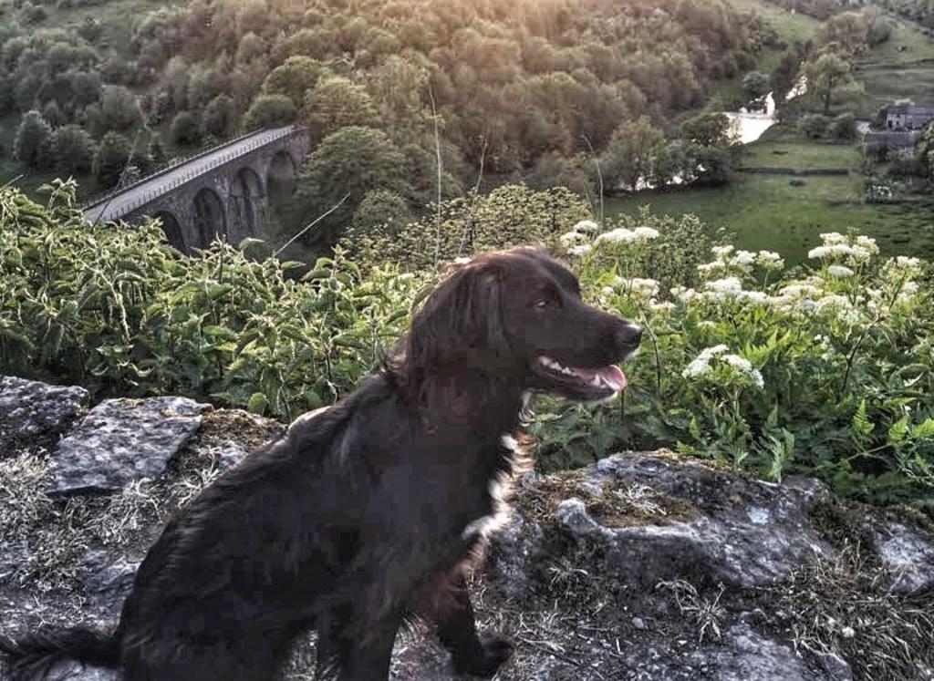
Dog Walk 1 | Riverside ramble - Calver to Froggatt Loop
How long it takes: About 1 hour
Distance: 2.5 miles (1.5 miles shorter one)
Elevation: 135 ft (115 ft)
Parking: Leave the car on the road near The Bridge Inn, Calver.
Perfect Peak Venues Dog Friendly Property: Edge Cottage
I love this perfect river walking route, probably because it begins and ends at the pub! It’s entertaining enough for kids and dogs of all ages and sizes.
Set off up Duke’s Drive from the Bridge Inn, passing the scout hut on your left.
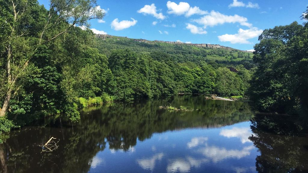
After about 200m, turn left through a gate and follow the riverside path beside the Derwent River. After ten minutes, you’ll reach Calver Weir. Restored with Heritage Lottery money (it was built to redirect water to power the cotton mill at Calver once upon a time), it’s a great place to give your dog a paddle if the river is low enough. You can even venture out onto the weir itself when the water is really low but take care.
Next, carry on until you reach Froggatt Bridge (it’s a bit confusing because this is the first of two bridges close to Froggatt village). Cross straight over the road here and carry on until you reach Froggatt village proper. It is a lovely meander along the river. Look out for water voles and kingfishers. Cross the river here at the next bridge, the more beautiful of the two Froggatt Bridges, and come back on the other side of the river. Once upon a time, the locals used to bathe here beneath the bridge.
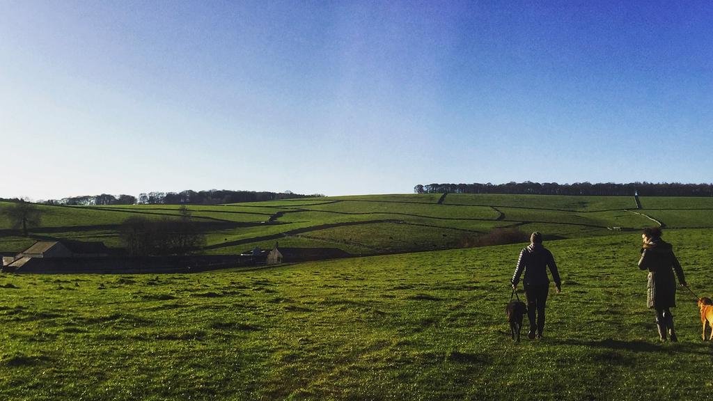
When you get back to the first of the Froggatt bridges, cross the road and follow the gravel path passing the Shuttle House on your left and a couple of bungalows to your right. Follow the path through the woods and out into the field. You can see the old ‘goit’ - a water channel which drove water to the mill at Calver, on your left. When you reach the open fields, make sure you turn around and soak up the great panoramic view of Froggatt Edge, the gritstone escarpment high above the valley. There are usually cows in the field so you’ll need to put your dog on a lead for this bit, and for the last stretch to the pub. You’re soon back at the Bridge Inn which has a nice beer garden where you and your dog can rest while you enjoy a well-earned drink.
If you only have time for a shorter one you can skip the section from the first Froggatt bridge to Froggatt village and simply cross the river and your nose back along the river to the pub.
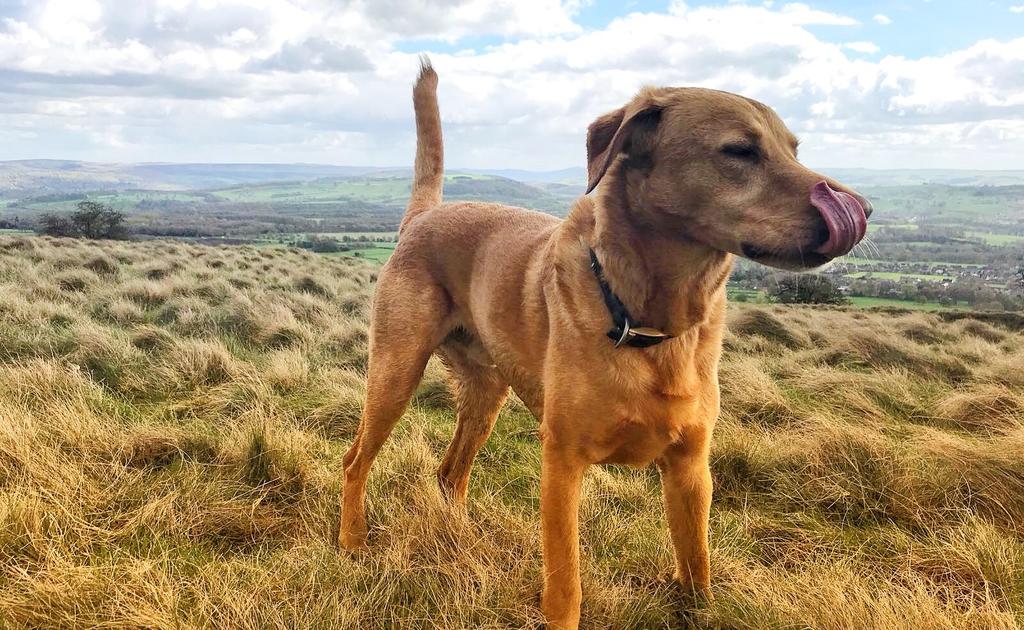
Hannah and Simba
Dog Walk 2 | Valley circuit - Stoney Middleton to Eyam Loop
How long it takes: About an hour
Distance: 2.3 miles
Elevation: 360 ft
Parking: Park at the church in Stoney Middleton
Perfect Peak Venues Dog Friendly Property: Edge Cottage
Start from the church in Stoney Middleton (Saint Martin’s, known for its unusual octagonal nave) and walk up The Bank. Take first the right and then the left fork onto Bottom Cliff. Follow the track all the way up into Eyam village.
If you have the time, make sure you walk around this famous ‘Plague Village’ with its fascinating museum before following the road up and out of the village eastwards along New Road. There was a landslip here a few years back and they’ve never re-opened the lane to road traffic so it’s nice and quiet (though watch out for the odd bike zipping through!).
Walk all the way down the road between the trees to the next set of barriers, and then beyond these past the manor house on your right (what a place to live!). You get great views of Curbar and Froggatt Edges from here so pause a while and enjoy. At the bend in the road, turn down a steep stony track to your right. This takes you back down to the church.
There’s a great chippy in Stoney Middleton called the Toll Bar Chip Shop. It is the UK’s only chip shop in a grade II listed building. History and some of the finest fish and chips in the area - what more could you ask for? Or stop for a drink at the Moon Inn.
You could equally start and finish this walk in Eyam then take your dog in to The Village Green Café for a brew and cake (open Thurs-Mon 9.15-4.15).
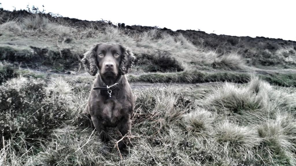
Dave and Jasper
Dog Walk 3 | Edges and moorland - Baslow Edge to Curbar Gap and back
How long it takes: 1.5 / 2 hours without stops
Distance: 4 miles
Elevation: 620 ft
Parking: Park anywhere on School Lane and walk up Bar Road.
Perfect Peak Venues Dog Friendly Property: Dale House
This walking route starts with a steep but rewarding climb out of Baslow. You will be greeted with spectacular views. Start up School Lane, then on to Bar Road, before the lane becomes a footpath and climbs up steeply through woodland. The woods give way to high hedges before you suddenly realise that views are opening up all around you. As you pass through a gate, take a moment to drink in the view of the valley below you and to the south, Chatsworth House, and the rolling hills beyond.
Carry on climbing before taking the right fork to Wellington’s monument. The monument is dedicated to the Duke of Wellington in celebration of his victory at the battle of Waterloo in 1815. It was erected by a local man called Dr Wrench who felt the need to counterbalance the memorial dedicated to Admiral Nelson on nearby Birchen Edge (see below!).
From the memorial almost double back on yourself and head for the Eagle Stone, a massive boulder of gritstone. Apparently in days gone by the young men of Baslow had to prove their fitness for marriage by climbing on to the top of the stone. It’s impossible unless you’re a rock climber!
From the Eagle Stone, carry on along the path towards Curbar Gap or take a slight detour and trek across to the top of Baslow Edge and walk along here with stunning views into the valley. Just before the Gap there’s an excellent view point where you can sit and rest and enjoy views up the valley.
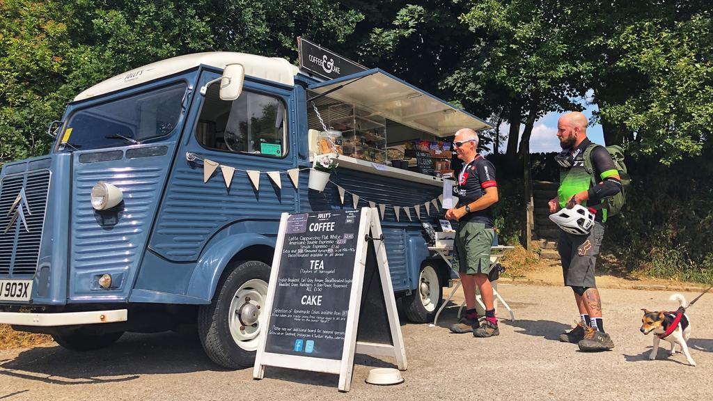
At the Gap, make sure you head to the car park and enjoy another moment at Jolly’s, the beautifully restored French van selling drinks and homemade cakes - and most importantly homemade dog biscuits! It’s there at weekends and Bank Holidays.
To return to Baslow, walk down the road (Clodhall Lane) towards Curbar. There are a couple of paths here which will take you back to Baslow - one shortly after you start down the hill on your left, and a second before the road turns to the right at the entrance to Curbar village. Follow your nose back in the direction of Baslow whichever path you take.
There are three old ‘plague’ graves on the lower path - we’ll leave you to find these with help from your companion! After twenty minutes traversing below Baslow Edge, you’ll end up joining Bar Road in Baslow again, at the point where it changes from footpath to road.
Fran and Knuckles
Dog Walk 4 | Edges and moorland - Robin Hood and Birchen Edge
How long it takes: 1 hour
Distance: 2.2 miles
Elevation: 345 ft
Parking: Park in the Pay-&-Display car park by the Robin Hood pub.
Perfect Peak Venues Dog Friendly Property: The Barns, Roslyn House,
From the car park, you have to walk up the road about 50m past the house on your left before you can dip onto the footpath. Watch out for traffic here. Follow the path upwards, and then take the right fork which climbs up onto Birchen Edge. This is one of the gritstone edges that the Peak District is famous for and has great views down across the Derwent Valley.
On the top you’ll find Nelson’s Monument and ‘The Three Ships’. The monument was erected in 1810 by a local business man called John Brightman in honour of Admiral Lord Nelson’s victory at the Battle of Trafalgar in 1805 (about thirty years before the London Nelson’s Column was built). The ‘ships’ are three large gritstone boulders which have had the names of some of Nelson’s ships carved on them - Victory, Defiance and Royal Soverin (sic).
Birchen Edge is a very popular climbing spot so this makes a great place for a picnic where you can watch the climbers scaling the routes.
Walk past the three ships to the trig point and then drop down off the edge, carrying on heading south-west along the edge of the fields (on the moor side of the stone wall). Turn left through a gap in the wall and over the fields to the stile onto the Chesterfield road. Turn left up the road and after a few hundred metres, you’re back at the Robin Hood.
Heather and Amigo
Dog Walk 5 | Dales walk - Over Haddon to Alport Loop
How long it takes: 2 hours
Distance: 4.3 miles
Elevation: 453 ft
Parking: Park in Over Haddon Car Park
Perfect Peak Venues Dog Friendly Property: The Barns
From the car park in Over Haddon, walk down the steep and twisting Dale Road into Lathkill Dale. You can make any number of walks up this beautiful dale if you choose, but our favourite route takes you across this winterbourne river on the footbridge, and up the steep path on the other side.
At the top, cross the field towards Meadow Place Grange farm. Put your dog on the lead through the farmyard, then turn left and follow the track to Conksbury Road.
Follow the road down until you reach the woods, then turn right and walk along the path parallel to the river until you reach a track. You can turn left here, past the weir and up through the woods for a shorter loop, or go straight on through the fields until you reach Alport.
Turn left along the road for 200 metres (dogs on leads), then turn left up Dark Lane. Follow this lane uphill till you reach some barns. Then squelch through the muddy farmyard and take the gate on your left into a large field.
Cross the field to the yellow-topped footpath sign to the west and you'll eventually reach Conksbury Road again. Cross over the road and follow the path through the fields back to Over Haddon.
It's a pretty muddy walk in some places but has some great views and plenty of smells for your dog. You could call in at the pub in Over Haddon on your return and enjoy a view of the walk you've just done.
Jenny and Kiba
Dog Walk 6 | Woodland and moorland - Beeley to Calton Lees
How long it takes: 2-2.5 hours
Distance: 4.4 miles
Elevation: 718 ft
Parking: Leave the car on School Lane close to the village hall in Beeley.
Perfect Peak Venues Dog Friendly Property: The Beeches
We love this walk; a mixture of village, woodland climbs and broad vistas to the valley below. Start in Beeley Village and head out towards Beeley Moor (village hall on your left, follow the road). Keep following the road, then veer left before going up a private drive. Follow the footpath until it stops at a large metal gate/stile. Go over the stile and into the woods.
There are several paths you can take here, pick one of them and you eventually veer left up a steep hill in the woods. At the top, take a left along the track. When you reach another track, turn left. The views from here are magnificent and it’s a great place to stop a while and enjoy the views up and down the valley.
The route then tracks back past some Chatsworth Estate-owned properties to just near the Chatsworth bridge (just below Calton Lees garden centre). Scoot along the road towards the bridge and through the gate on the left, following the footpath by the river. At the end of the field, cross the road and follow the road back into Beeley.
Beeley is a lovely village and there is lots of interest along the walk for everyone, a variety of views and terrain. You could finish at The Devonshire or the more relaxed dog-friendly cafe called The Old Smithy. It serves good food and there’s a friendly atmosphere - and it provides outdoor blankets in the winter which is a winner!
Eve and Oscar
View This Dog Walk
Dog Walking 7 | Trail blazing - Monsal Trail
Hassop to Miller’s Dale and back
How long it takes: 10 minutes to 3 hours
Distance: anything up to 6.7 miles
Elevation: 935 ft
Perfect Peak Venues Dog Friendly Property: Rowdale Barns
Parking: Hassop Station Pay-&-Display car park
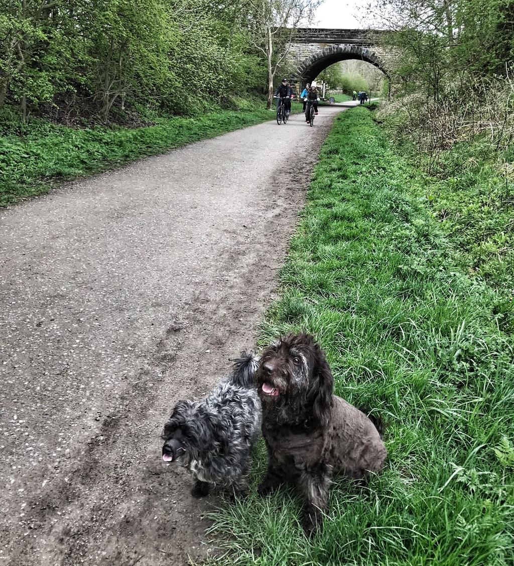
My dogs love just going along the the Monsal Trail from Hassop station: there are so many other dogs on there to meet and sniff! Obviously you can make this as long or short as you like, as you just turn around and come back again! It is best to go in the morning or evening if you want a quiet walk as the Monsal Trail is also very popular with cyclists, especially at weekends. An added benefit is that of course as an old railway track linking London to Manchester via Buxton, it’s flat!
Both directions are good. Turn right towards Cressbrook Mill (3 miles), Litton Mill (4 miles) and Miller’s Dale (5.5 miles from Hassop Cafe).
If you head in the other direction it takes you towards Bakewell. The trail stops after about 1.8 miles, just beyond the town but leads on to Coombs Road from where you can continue your walk and loop back left up through Manners Wood and down across Bakewell Golf Club.
When you come to the bridge dip down on to the Monsal Trail again and head back to Hassop Cafe. This loop is 6.2 miles - for precise route see the map attached.
Rachel and Coco & Tinker
Dog Walk 8 | Trails, woods and hills - Bakewell Station to Rowland Loop
How long it takes: 2.5 / 3 hours
Distance: 6.4 miles
Elevation: 885 ft
Parking: Bakewell Station car park or on the road up to the station.
Park up at Bakewell Station near the Monsal Trail and head along the Trail towards Hassop Station. About a half-mile past Hassop Station, take the footpath on your right towards the main road. Cross the road, and walk up through the fields and Long Rake Plantation towards Rowland.
Turn right when you hit Longreave Lane and follow the road carefully down into Hassop. You’ll have to put the lead on for this stretch and keep close into the verge as this bit on the road can be quite busy. When you get to the main road with Hassop Hall on your right, turn right and walk down the road to the farm. (They sell milkshakes here if you’re parched!).
Just passed the farm on the left is a footpath. Take this and follow it across the river and through the wood. It comes out on the Baslow-Bakewell A619 Road known as 13 Bends. Cross the road and walk up the footpath to Pilsley. You don’t go into the village itself but skirt it with the village on your left. Follow the footpath to the next road, cross over and walk up Handley Lane. The view from the top is amazing.
Carry on until you get to Ball Cross Farm just over the brow of the hill. You can either keep walking on the lane or cut through the woods on your left just before the houses. Both come down past Bakewell Golf Club and back to the station.
Emma and Flo & Brian
Dog Walk 9 | Valley views - The Longstone tour
How long it takes: Just under and hour
Distance: 2.5 miles
Elevation: 280 ft
Parking: Park on the road near The Crispin pub in Great Longstone
Perfect Peak Venues Dog Friendly Property: Top Shippon
Park near The Crispin pub in Great Longstone, then walk up the lane with the pub on your left. Take the first right turn up Moor Road and not far up, turn left at the sign for Dale Farm campsite. They sell delicious homemade jam and meat in the farm shop so be sure to take a rucksack - or come back later!
Walk up Cherpit lane until you get to a style on your left, walk across the fields following the paths and styles, through the wood with the path straight down the middle.
Then turn left at the top and walk back down the hill towards the back of the Packhorse Inn. Either stop for a quick one there or keep walking out of Little Longstone to Great Longstone where you have the choice of The Crispin or The White Horse.
Katie and Murphy
Dog Walk 10 | Dale trail - Little Longstone, Cressbrook Dale and Monsal Head
How long it takes: 3 hours
Distance: 6.5 miles
Parking: Roadside parking on Butts Road between the Monsal Head Hotel and Little Longstone or in the Pay-&-Display car park next to the Monsal Head Hotel.
Perfect Peak Venues Dog Friendly Property: Shippon Barn
Head through the village of Little Longstone towards Great Longstone and just before the last house, take the path on the left. Turn right at the gate and follow the path, passing Dale Farm on your left (homemade jam and meat for sale in the shop!). Turn left onto Moor Road and head uphill until the bend. At the bend take the path directly ahead.
Go through the metal gate, cross the farm track and take the steps ahead signposted to Longstone Moor and continue steeply uphill to a gate onto access land beyond. Carry on uphill. As the path levels out, stop a minute and look back at the breathtaking view. Head across the moor in the same direction.
Continue uphill to a signpost to Foolow. Walk downhill to a stone stile then continue straight ahead over a series of stone stiles until you reach the road. Left onto the road and downhill to a T junction. Turn right at the junction and then left after 75 mtrs onto footpath marked Charles Five Acres Farm.
Head downhill through a series of gates aiming just right of the small brown cottage in a cluster of trees in the distance. At the road turn left and head through the village of Wardlow. 100 meters on, take the path on the right signposted Ravensdale.
Just over the brow of the hill bear left over the stile and follow the path down through the wood to the wooden bridge. Over the bridge take the left fork staying in the valley floor. Pass Ravensdale Cottages on your left and continue up the tarmac drive to the T junction.
Turn left and continue downhill until you can see Cressbrook Mill on the right. Follow the path round the Mill and cross the wooden bridge to get to the Monsal Trail.
Follow the trail for some distance, over the viaduct and just before the Headstone Tunnel take the path on the left up to the Monsal Dale Hotel and over the lane back to Little Longstone.
Rachel and Snoop
Dog Walk 11 | Walk At Carsington Reservoir
How long it takes: 3 hours
Distance: 8.5 miles
Parking: Carsington Reservoir Visitor Center.
Perfect Dog Friendly Venue: Knockerdown Cottages (A sister site of Peak Venues) a 5 minute walk from Carsington Reservoir.
Terrain: Easy relatively level walking on good paths through fields by the side of the reservoir. There is one section with no pavement so keep your dog on a lead.
1. From the Visitor Centre, walk southwards and follow the path past the sailing club, to pick-up footpath signs for Millfields.
2. Continue along the dam wall, at the far end of which you follow the main path to Millfields. Cross the car park, in front of the refreshment kiosk – open on a seasonal basis.
3. Follow the path close to the edge of the reservoir, and after crossing a long footbridge take the footpath on the left with the yellow sign indicator (when there is an option – follow the yellow signs).
4. On reaching a narrow tarmac lane by Upperfields Farm, turn left for a few yards and then right at a gate to follow a path signed for Hopton.
5. The path winds up and down through pasture and woodland, before reaching a gate leading onto the B5035. At this point turn left, with the wall on your right. After 35 yards turn right and cross the road OR continue with the new path along the reservoir which now takes you to the Sheepwash carpark.
6. Follow the path opposite, which leads you up to the road through the village of Hopton.
7. Turn left and follow the road through Hopton to the adjoining village of Carsington. Take care - there is no pavement on this section of the walk.
8. Immediately after passing the Miners Arms Public House, turn left at a fingerpost sign and then left again to walk down the lane at the rear of the pub.
9. Before reaching the school, turn right up a lane and continue straight on when it forks.
10. The lane ends at the B5035, which you cross and follow the path straight ahead for a short distance before bending to the left and then right.
11. Walk across Sheepwash Car Park and follow the distinct path ahead.
12. Keep to the main path, close to the reservoir, past Carsington Wildlife Centre, back to the starting point of the walk.
All these routes also make great runs and the Strava maps that accompany each entry show approximate times it would take to run them. In addition you can find the best dog friendly rest stops in the Peak District below.
Best Dog Friendly Rest Stops in the Peak District
Village Green Cafe Eyam
Grindlford Station Cafe
The Flying Childers in Stanton - In the Peak
Renting a property with Peak Venues is the best way to experience the Peak District in style.
Published on March 8, 2022 in
